


blah blah blah
Holts Ledge
Length: 3.5 miles out-and-backDifficulty (click for info): Easy
Elevation Gain: 1230 feet (+20 feet on return)
Rating (click for info): 6/10
Elevation: 2111'
Prominence: 878'
Driving Directions:
Trailhead and parking area are on Grafton Turnpike in Lyme, NH. From Rt. 10 in the small town center of Lyme, 10 miles north of Hanover and 6.8 miles south of Rt. 25A in Orford, turn east onto Dorchester Road, driving past the church. Travel 3 miles on Dorchester Road to a fork and bear right onto Grafton Turnpike, following the entrance to Dartmouth Skiway. Just at the fork, you will drive by the Appalachian Trail crossing, where there is a signpost and stairs into the woods on the right. Drive just a bit further and park on the left side in a pull-off in front of an artificial pond for the ski area with the sign indicating hiker and climber parking. Click here for a Google map.
About the Hike:
Located in the far southwest extremity, where the White Mountain National Forest forms a narrow strip along the Appalachian Trail as it enters New Hampshire, Holts Ledge is a medium-sized peak in the linear grouping of summits called the Middle Connecticut River Mountains. One side of the peak drops off in impressive cliffs, and another side contains one half of the ski trails at the Dartmouth Skiway. The peak has two routes of ascent, both the Holts Ledge Trail, a segment of the Appalachian Trail. On the northern side of the summit, the trail leads along the top of the cliffs, where several lookouts offer wide views to the east and over the impressive rock.
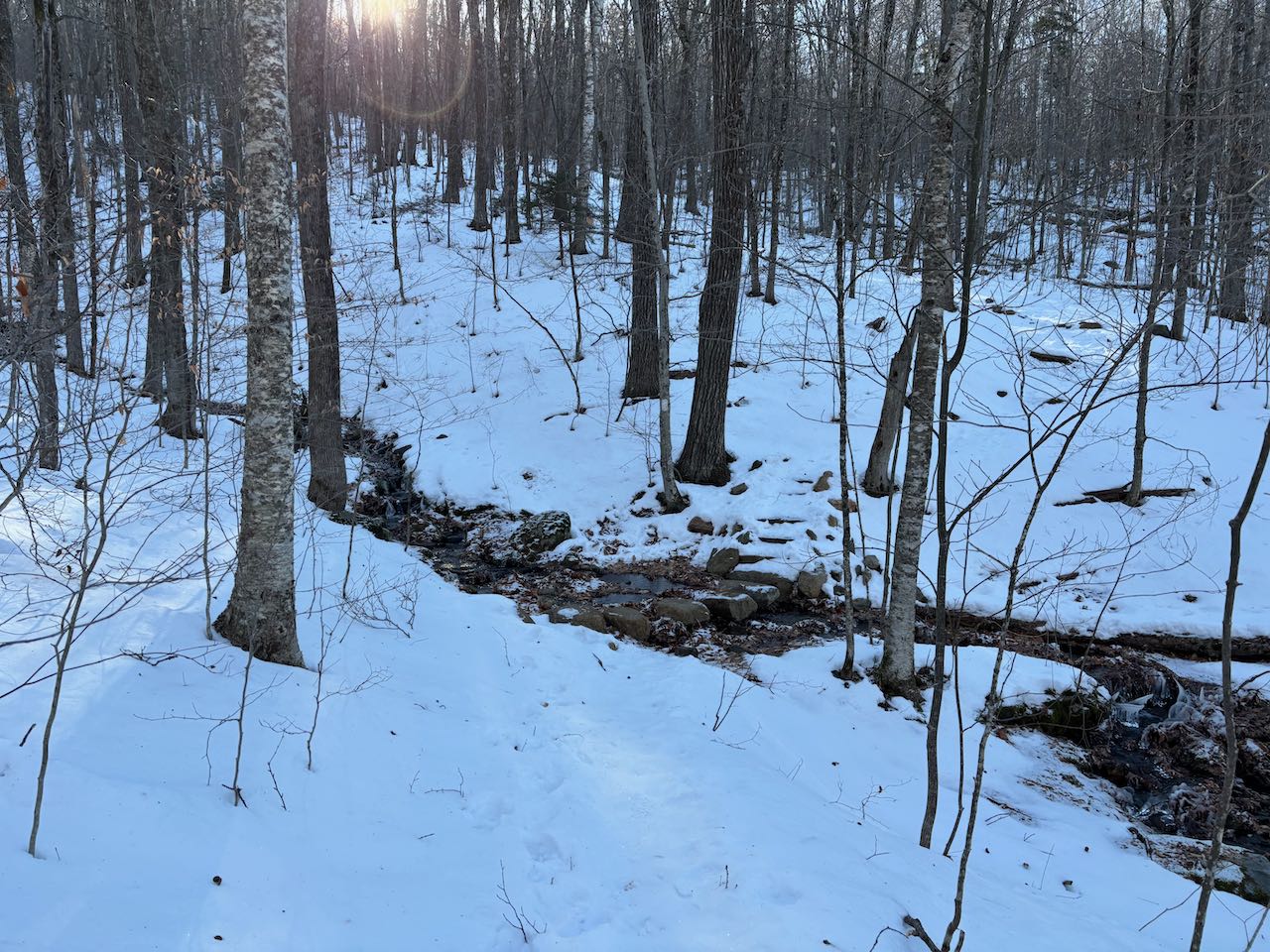
Walk back along the road to the Appalachian Trail and enter the woods on the left side of the road up the staircase. Hike up the trail at a moderate incline through sparse forest, following the white blazes of the AT. The trail eases a bit as it progresses, paralleling the outer ski trail of the western lobe of the skiway just out of sight. In 0.7 miles, walk straight across an access road for the ski area that comes out onto the ski trail just above. In another 0.1 miles, pass a junction with a spur trail that leads downslope to the Trapper John Shelter. The trail continues climbing easily into a narrow brook valley, and it crosses the brook after a quarter mile. It then turns up the steep bank to follow the stream. It climbs alongside for a bit, moderates as it swings left to cross the stream higher up, and reaches a junction at the crest of the Holts Ledge ridge after 0.3 miles.
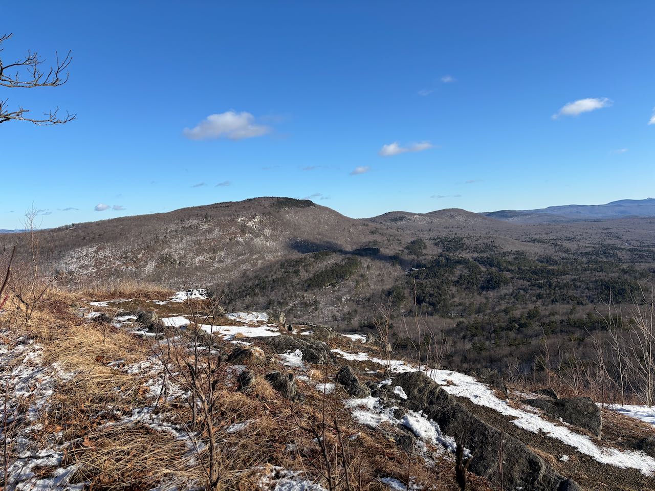
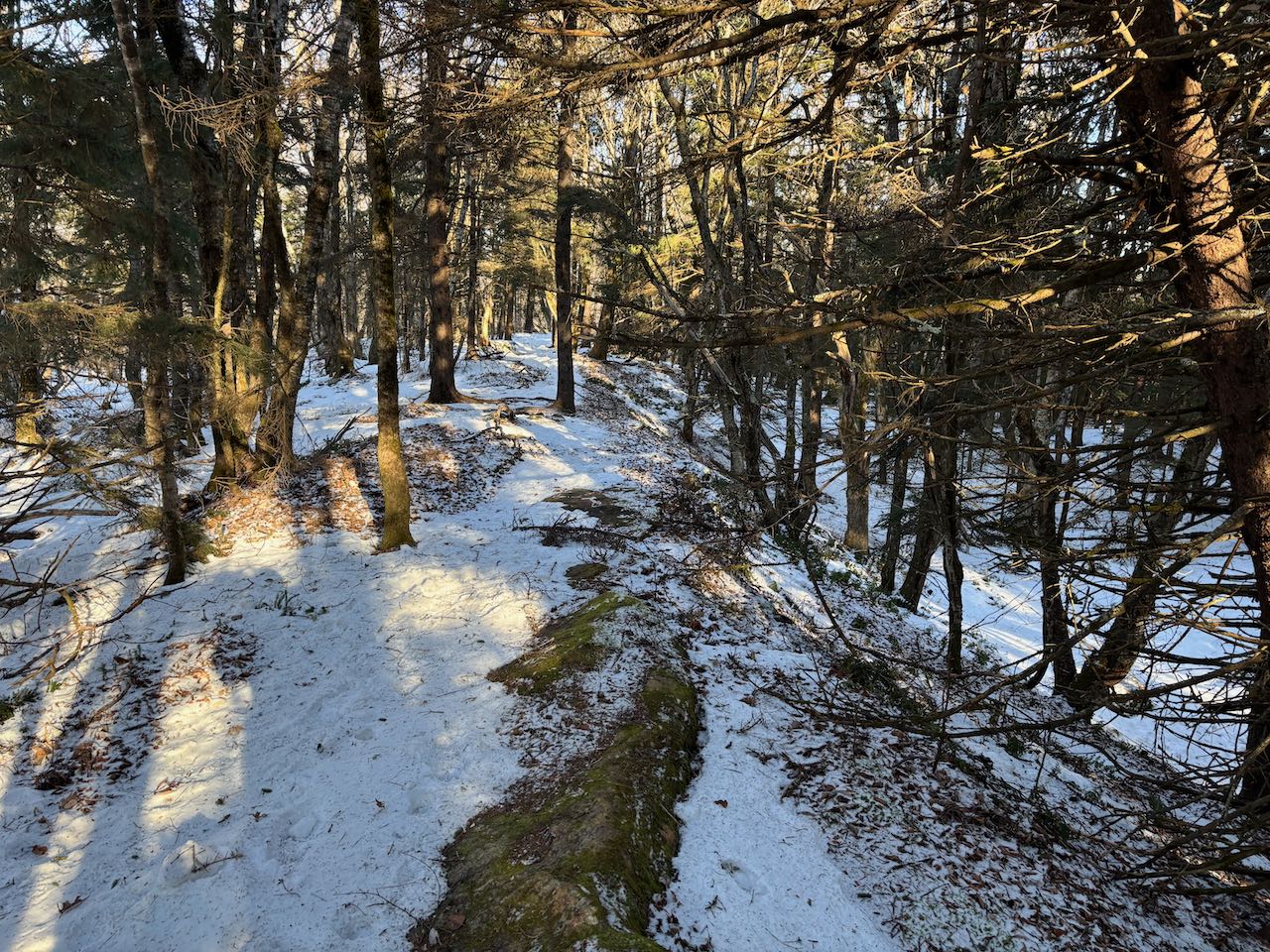
To the left, a spur path leads out to an open grassy knoll, where a chainlink fence blocks off an area of low brush and rock outcrops that is designated as a falcon nesting area. Over the fence there are wide views to the east. To the north, through the trees, you can see out to the next destinations of the Appalachian Trail, Smarts Mountain and Mt. Cube. To the right, you can see just a couple peaks in the distance in the White Mountain National Forest, Carr Mountain and Mt. Tripyramid. Just across the valley below the cliffs is Holts Ledge's twin peak, Winslow Ledge, where you can see some of the ski trails on the other side of Dartmouth Skiway. Out in the distance to the southeast, you can see the isolated mountains of Mt. Cardigan, Ragged Mountain, and Mt. Kearsarge. All the way to the right, over Goose Pond, you can see the Mt. Sunapee ridge. Just past the clearing, a path connects down to the top of the ski lift. Head back to the junction and continue on the main trail, as it follows very close to the edge of the cliffs. It shortly passes another opening against the precipice with an even wider and more open view than from the previous bluff. From here, there is a much clearer view to the north where Mt. Cube can be seen unobstructed with Piermont Mountain behind it. The cliffs on both sides can be observed from this lookout, which offers an improved view into the valley down below. The trail leads on at easy grades through the woods just in from the cliff-edge, passing one more viewpoint with nearly the same view, and reaches the summit of the hill in 0.3 miles from the junction. Nothing marks the highpoint, and no views are to be seen from the forest.
Printable directions page