blah blah blah
Carr Mountain
Length: 6.8 miles out-and-backDifficulty (click for info): Hard
Elevation Gain: 2250 feet (+130 feet on return)
Rating (click for info): 7/10
Elevation: 3454'
Prominence: 1485'
Driving Directions:
Trailhead and parking area are on Stinson Lake Road in Ellsworth, NH (summit is in Wentworth). To get there, travel north on Main Street toward the center of Rumney from Rt. 25, 3.3 miles west of the traffic circle junction with Rt. 3A and 4.1 miles east of the eastern junction with Rt. 118. Drive 7.0 miles up Main Street, which becomes Stinson Lake Road after 1.0 mile. Look for the parking area on the left about 3/4 mile after passing the north end of Stinson Lake. Click here for a Google map.
About the Hike:
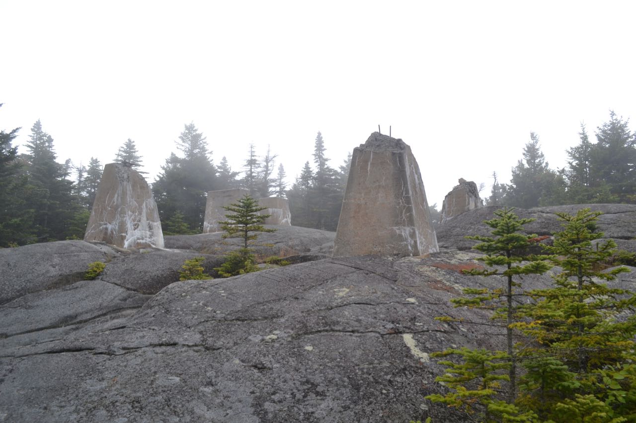
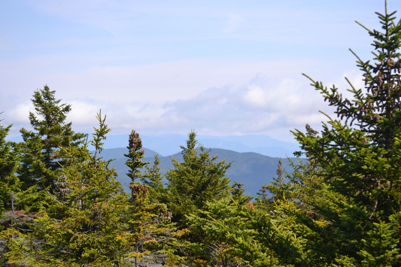
Carr Mountain is a massive north-south running ridge spanning several towns in the southwestern White Mountains. One of the longest single-mountain ridges in New Hampshire, Carr Mountain stretches for nearly 10 miles from the Baker River Valley on the south to Mt. Kineo on the north. The ridge is mostly forested with scattered ledges, including one large rocky opening on the summit which was home to a fire tower from 1929 to 1948. Carr Mountain was featured on the original version of the 52-With-a-View list, but was taken off the list in 2001 because tree growth had obstructed the once panoramic view from the summit. Today, views from Carr are indeed minimal, but the features which can be seen over the treetops are rather interesting, and it does offer a unique perspective on the rest of the White Mountains.
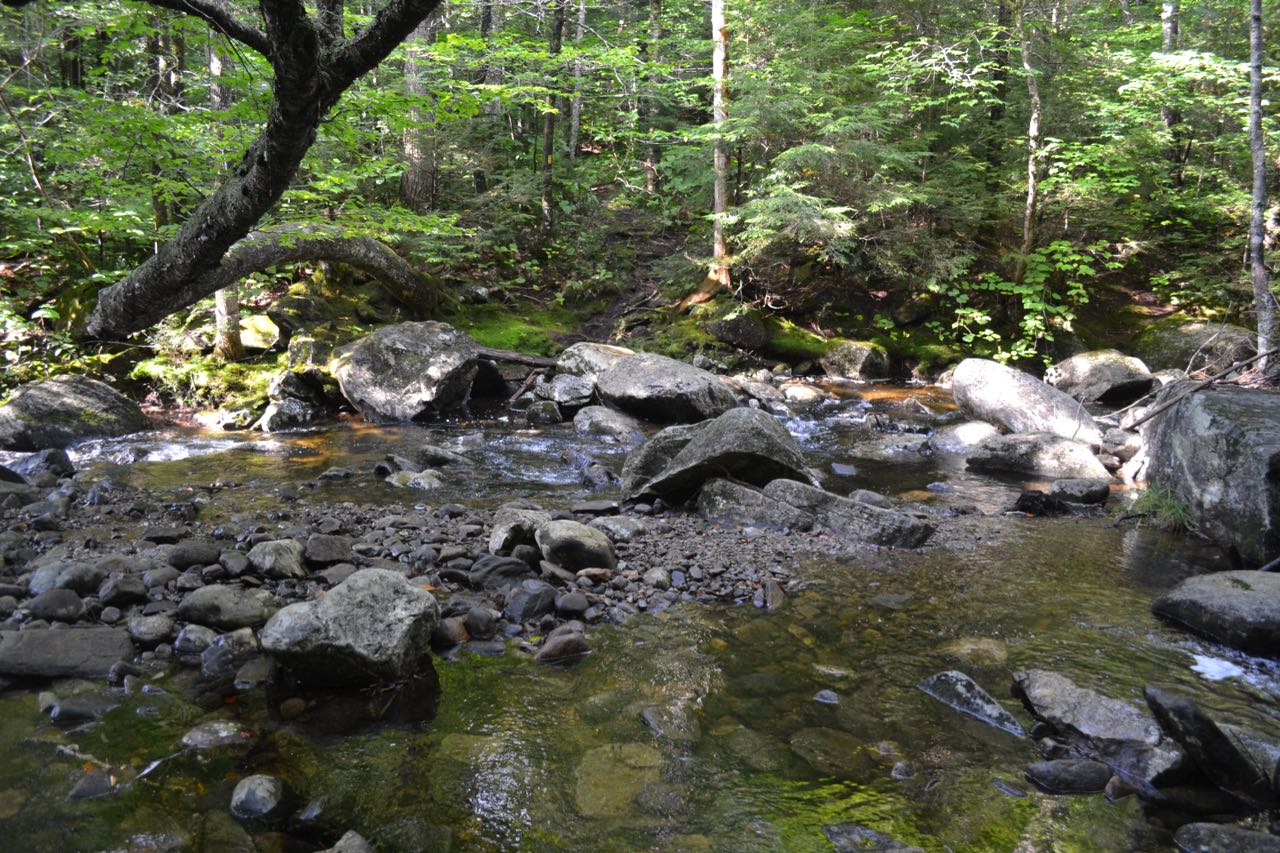
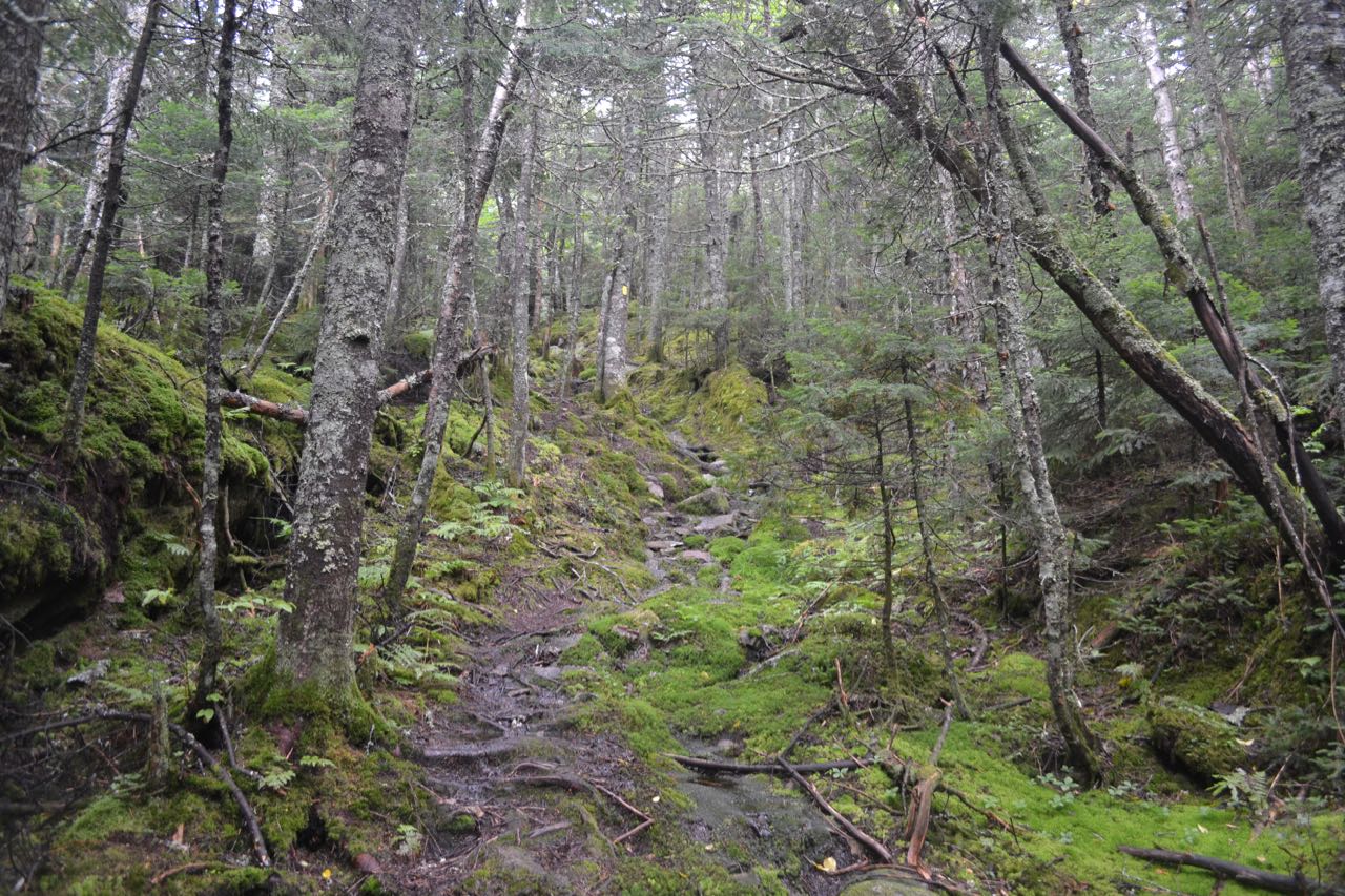
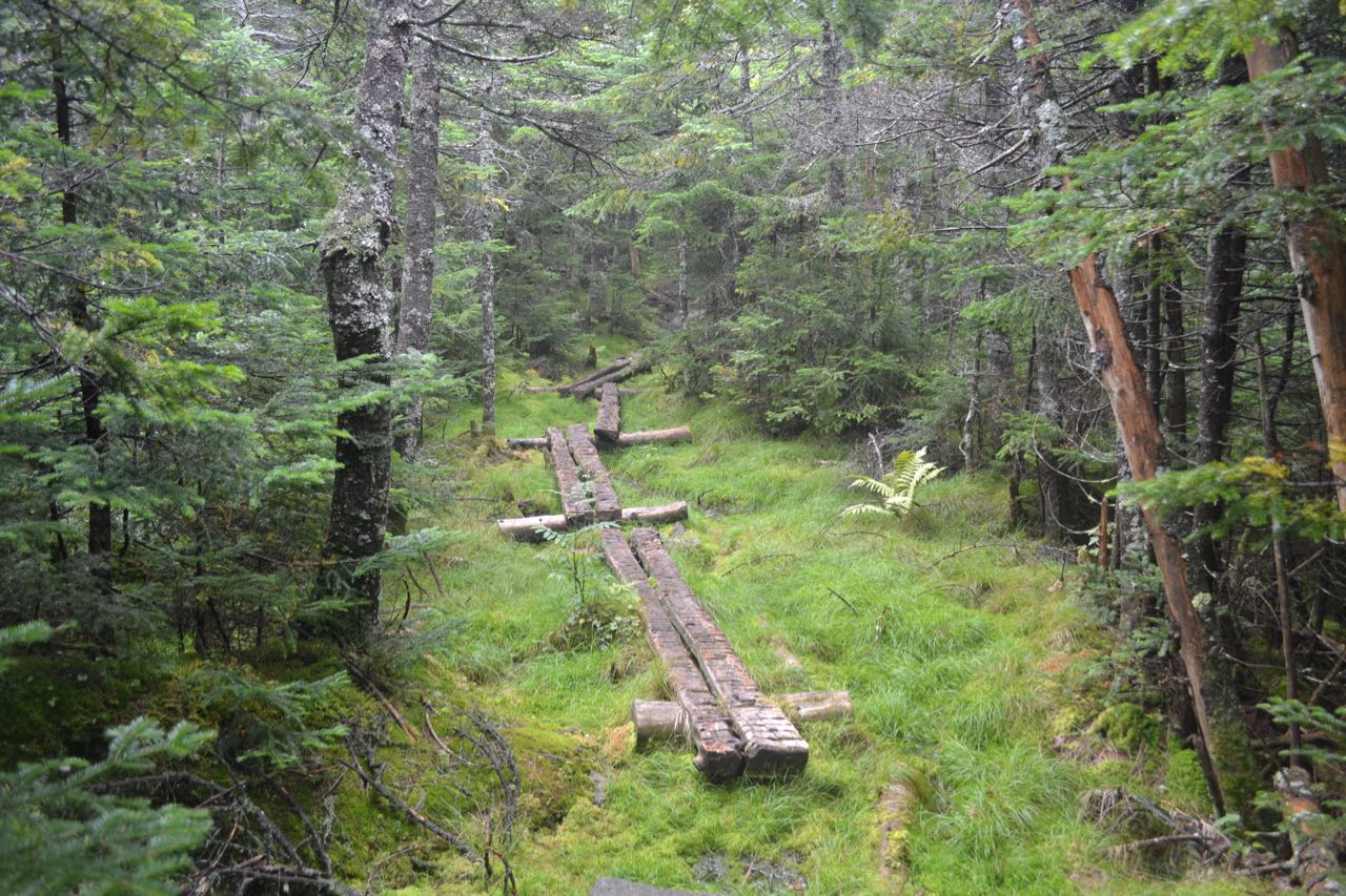
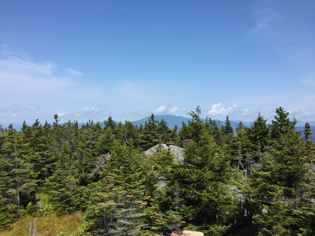
Start your hike on Three Ponds Trail, a wide and well-used trail leading to the eponymous trio of waterbodies. The path sets out and crosses a wet area, reaching a junction with Mt. Kineo Trail on the right after just 0.1 miles. The trail climbs a short incline, then ascends easily and leads across a flat area before reaching the junction with Carr Mountain Trail on the left in another 0.4 miles. Turn left onto this trail and make a significant descent (about 120 feet) over 0.2 miles, then cross the large, rocky Sucker Brook. This crossing can be very difficult if water is rushing, so it is recommended to visit Carr Mountain during the drier months. Once across the brook, cross an old road and begin a long, angling ascent through fine open hardwood forest. Grades are easy to moderate, and there are no notable features for the next 1.1 miles, but the going is pleasant. At the end of this section, the trail swings to the left, so that the uphill side is finally on your right. Next comes a rather interesting switchback, which is notable because you will pass through four different towns in quick succession over about 1/4 mile. Up to this point and going into the switchback, you have been in the town of Ellsworth. As you reach the turn of the switchback (avoid an unofficial trail continuing straight at the turn), you have crossed into the town of Rumney. About 350 feet after the turn, you pass through the town of Wentworth for 250 feet, then enter the town of Warren. In a short distance, the trail swings left and ascends 0.2 miles back into Wentworth to a small plateau where you can glimpse the top of the ridge ahead through the trees. It continues up at easier grades for 0.2 miles more, then climbs more steeply up through exceptionally lush, mossy spruce forest, approaching and following a small brook. In 0.3 miles, the trail turns back to the left again and runs at easy grades for 0.4 miles, approaching the top of the ridge. After crossing a boardwalk over a wet, mossy area, you will reach a trail junction. Carr Mountain Trail continues straight; turn left onto a short spur and come out to the ledgy summit among the four large cement fire tower footings.
The views are best seen from the highest point on the rock, on the west side of the footings, although standing on any of the footings aids you in seeing over the trees as well. The feature most easily seen is Mt. Moosilauke, which rises prominently to the north. The Benton Range can be seen off to the left, along with some distant lands in Vermont. By moving around and looking through various gaps in the tree growth, good views can be glimpsed of most of the White Mountains. The Franconia Range and the Bonds are seen at an especially interesting angle here. You can also see the Osceola-Tecumseh area, along with much of the Sandwich Range. Points to the south are almost entirely obscured by trees. This is a great peak to bring binoculars to, as they will aid in bringing the far-away peaks over the treetops into view. Aside from the distant views, the summit itself is also an interesting environment to see. The rolling ledges with the historical fire tower artifacts, along with a tiny, grassy wetland, are quite a scenic area.
Printable directions page