


blah blah blah
East and West Rattlesnake Mountains
Length: 3.7 miles out-and-backDifficulty (click for info): Easy
Elevation Gain: 700 feet (+270 feet on return)
Rating (click for info): 7/10
Elevation: 1241' (West) and 1294' (East)
Prominence: 252' (West) and 482' (East)
Driving Directions:
Trailhead and parking area are on Rt. 113 in Holderness, NH (East Rattlesnake is in Sandwich). The parking area is 5.5 miles northeast of Rt. 3 in Holderness and 6.2 milea west of Rt. 109 in Sandwich. The parking area is on the south/east side of the road (right coming from Holderness), where a sign indicates West Rattlesnake Parking. The parking lot shares an entrance with the driveway to house #1162; bear right to avoid the driveway. A parking ban is enforced on the roadside in this area. The parking lot fills up quickly; across the street there is a smaller parking lot for Mt. Morgan that can also be used (but also fills up quickly); a quater mile east down the road, there is parking for Mt. Percival that can be used if both of these lots are full. Click here for a Google map.
About the Hike:
Notice: The trails described here are among a set of trails maintained by the Squam Lakes Association which are closed annually for mud season. The trails remain closed for at least a month starting from snowmelt.
The Rattlesnake Mountains are dwarfed by the towering Squam Range behind them, but they have an amazing view for their size. Owing to their ease of access and broad ledgy summits overlooking Squam Lake, they (West Rattlesnake in particular) have become among the most popular hikes in the Lakes Region. West Rattlesnake can be climbed via the gradual and well-trodden Old Bridal Path, an easy walk of less than a mile long. East Rattlesnake can be reached on a path of the same length beginning at the summit of West Rattlesnake. The wide open and rocky top of West Rattlesnake offers panoramic views of the whole region to the south. East Rattlesnake has a similar but more limited view, but it receives a lighter amount of traffic than the often overcrowded west summit. Visiting both Rattlesnakes is a doable afternoon trek, but if you are looking for a shorter hike, just visit West Rattlesnake (a 1.9 mile total hike).
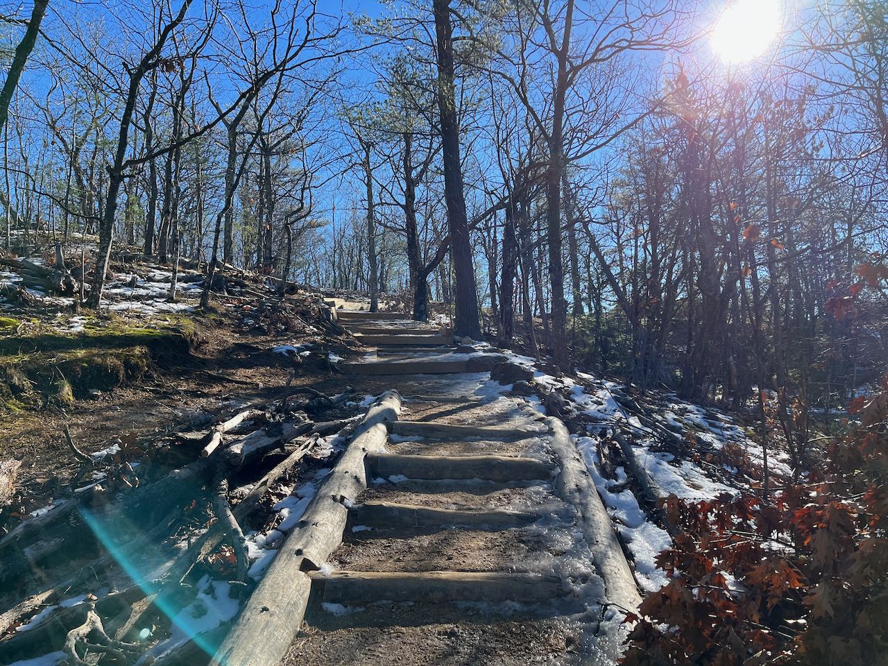
The wide and stony Old Bridle Path heads straight out from the top of the parking area and ascends easily for 0.3 miles. It swings around a bend to the right and continues upward at even gentler grades. The well-cared for pathway leads a half mile toward the summit, and an unmarked but obvious path on the right side leads out to an uplifted rock that provides the first view out to the west. You can see up to the nearby Squam Range at Mt. Webster from here. The trail continues another 0.1 miles up long wooden steps to the wide and rocky summit of West Rattlesnake, where there is plenty of room to spread out and enjoy the views. Squam Lake stretches out across the field of view with its plethora of islands. To the left you can see Red Hill across the lake, and in the distance Copple Crown and the Moose Mountains, with some of Lake Winnipesaukee in front. Straight ahead lies the Belknap Range. To the right, across Bennett Cove in the lake you can see some distant mountains in west central New Hampshire, including Mt. Kearsarge and Ragged Mountain.
To get to East Rattlesnake from West Rattlesnake, look for Ridge Trail to the left of the trail you came up on; it is the first trail to the left before Ramsey Trail. The path leads across the summit area and begins to descend through the open woods toward the dip between the two Rattlesnake Mountains. It reaches the bottom, in a hemlock forest, after 0.4 miles. Pass the north branch of Col Trail on the left, then pass the south branch on the right. The Ridge Trail begins to slowly ascend the east mountain, passing through a hollow and climbing across the hillside. It seems to come closer to a steep edge, and the forest opens up as it reaches the junction with East Rattlesnake Trail. Continue just 0.1 miles further to the view ledge just shy of the summit. From here you again have a wide view over the lake, now perched right above Rattlesnake Cove. The view is more open to the east, where you can see all of Red Hill and some of the Ossipee Mountains to the left.
Printable directions page