blah blah blah
Jerry Hill
Length: 1.6 mile loopDifficulty (click for info): Beginner
Elevation Gain: 300 feet
Rating (click for info): 4/10
Elevation: 728'
Prominence: 203'
Driving Directions:
Trailhead and parking area are on Long Pond Road in Concord, NH. Long Pond Road leaves the north side of Rt. 202, 3.0 miles west of Rt. 3 in the center of Concord and 3.6 miles east of exit 4 on I-89. The parking area is clearly signed for Marjory Swope Park. It is 0.8 miles up the road on the west side.
About the Hike:
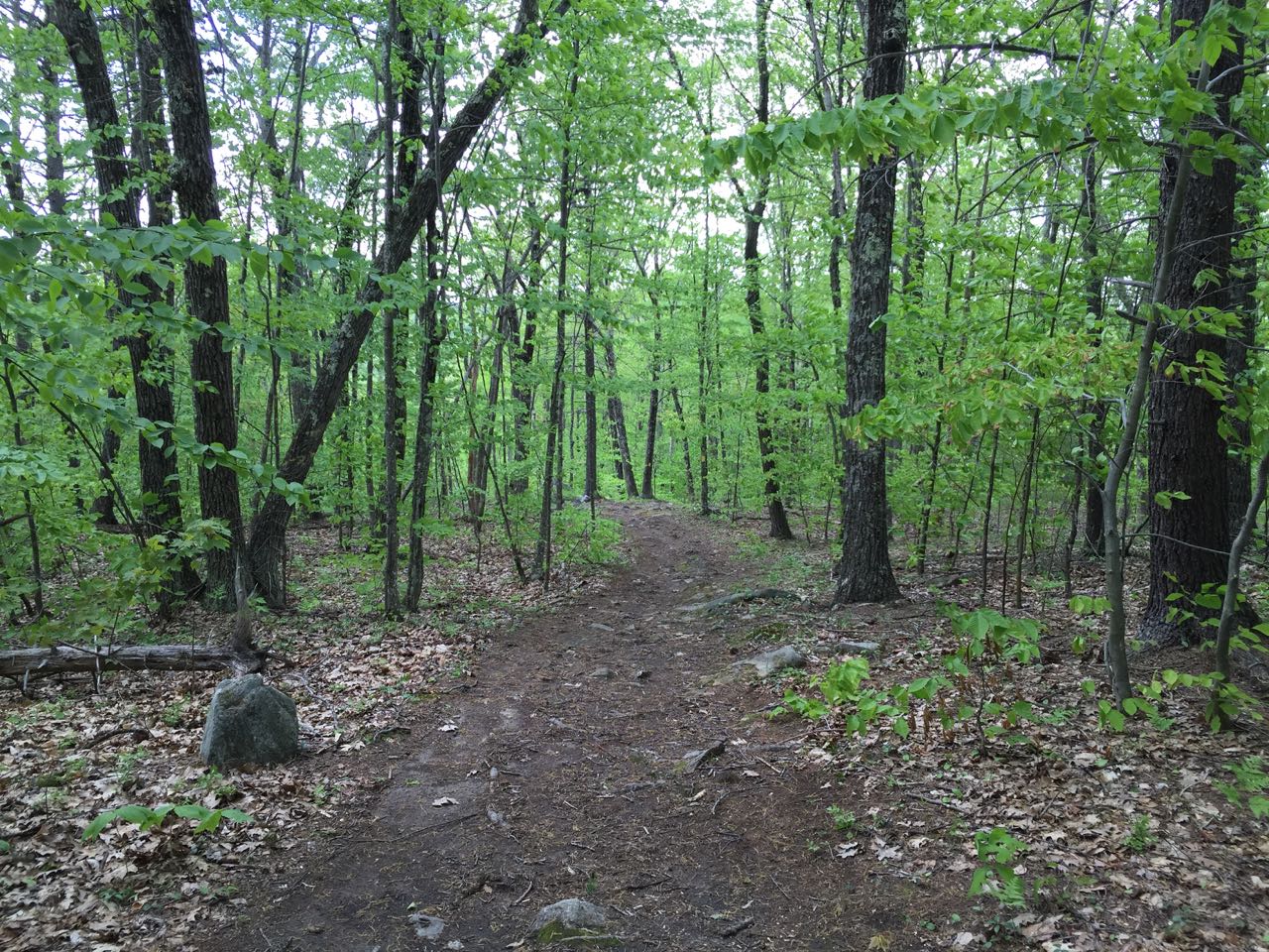
The Marjory Swope Park, created in honor of a local conservationist, is a local gem not far from the urban center of Concord. The park contains a small network of walking trails, as well as links to other parks. The park encloses the slopes of 728-foot Jerry Hill, the site of a former observation tower which was suspected to have been used as a fire tower. Much clearing has been done on Jerry Hill to improve its recreational qualities. The trails in the park are wide, gentle, and well-marked, making it one of the best family hikes in the area.
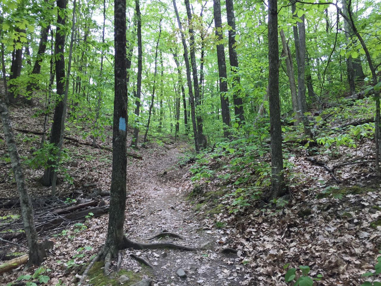
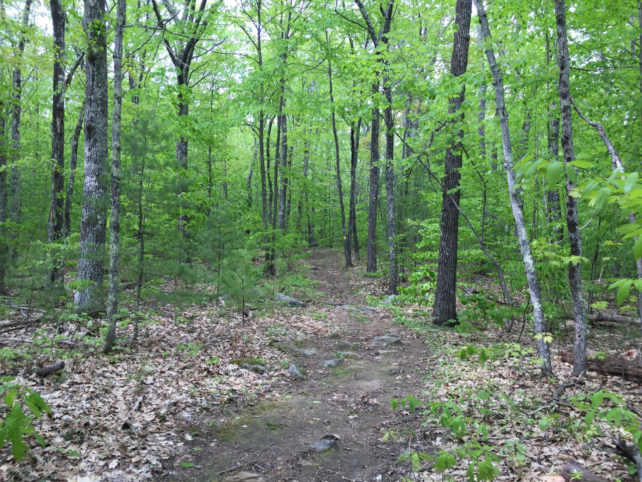
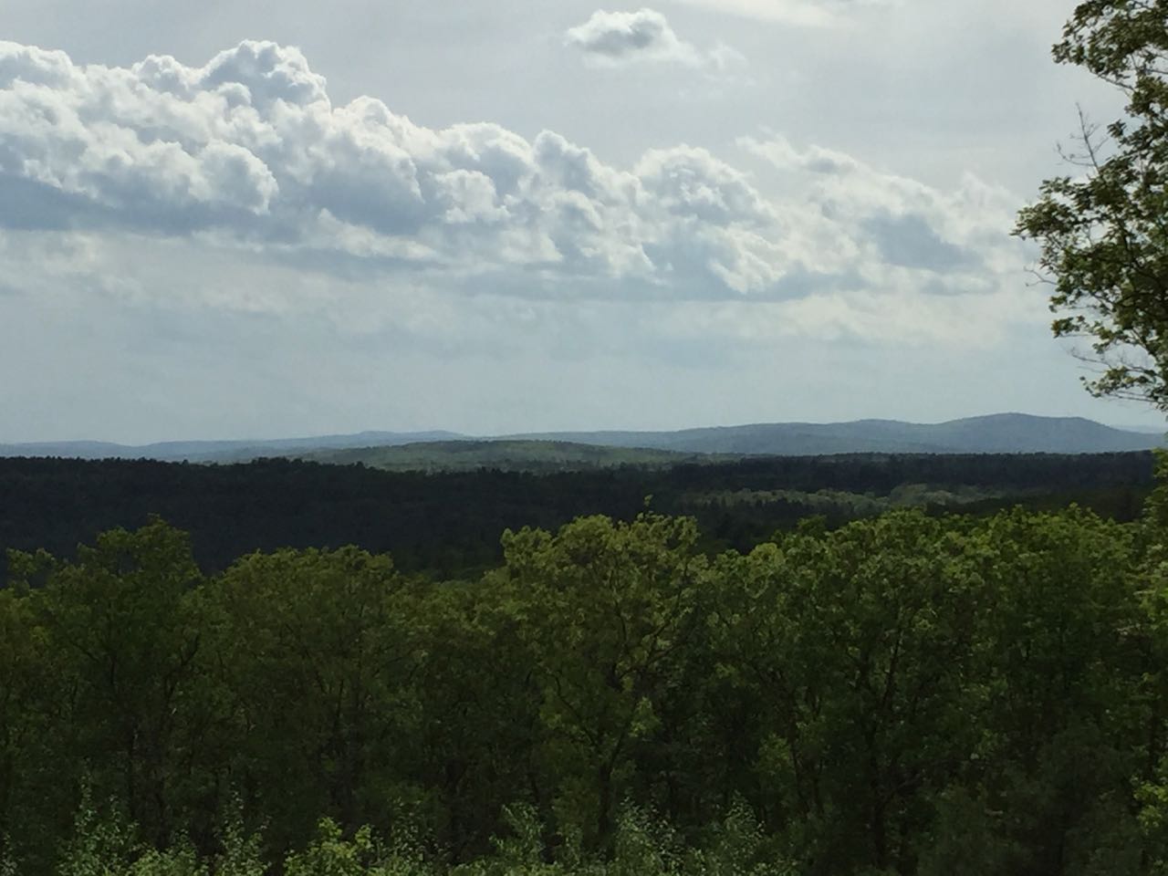
We describe a loop here that visits three nice cleared viewpoints and the summit of the hill. This is a nice short walk that can be done in an hour or two, so you can take your time enjoying the features of the park. To start your short adventure, walk to the kiosk at the north end of the parking area, which has helpful maps and information about the park and its history. Two trails depart from here; take the blue trail to the left. The blue trail soon forks; continue left, as you will return down the other fork. The steep side of the hill is on the right side of the trail as you walk. This trail avoids the sharp slopes on the west side, contouring around at gentle grades. Walk for 0.35 miles, and come to a fork. Turn right onto the yellow trail and continue upward at low slopes, heading for the top of the hill. It's just 0.25 miles through the open forest to the summit. Just before you arrive, take a left at a sign onto the orange trail and walk less than 0.1 miles to large clearing with a pleasant view of the surrounding area and some more distant features, including Crotched Mountain and Mt. Monadnock.
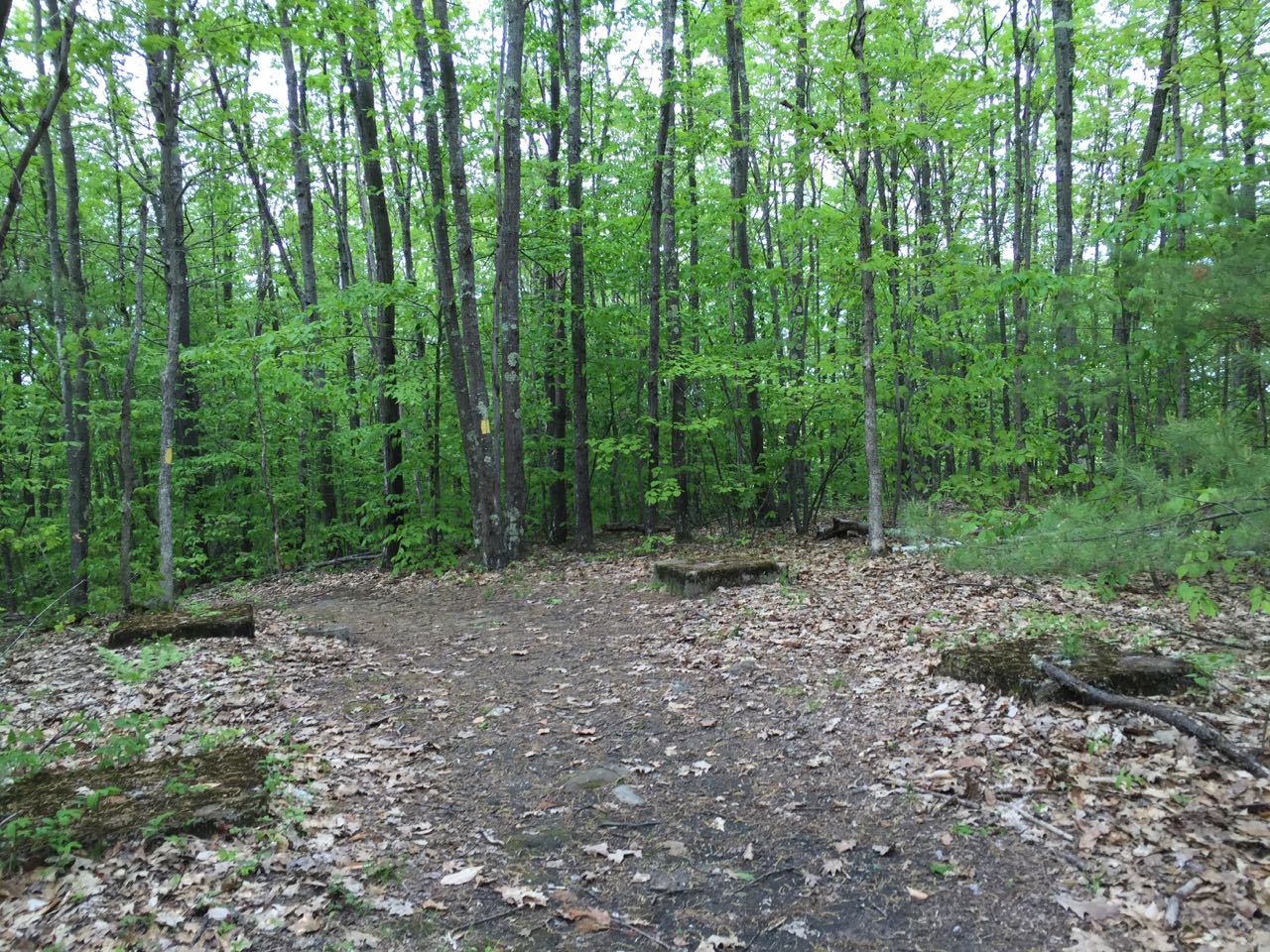
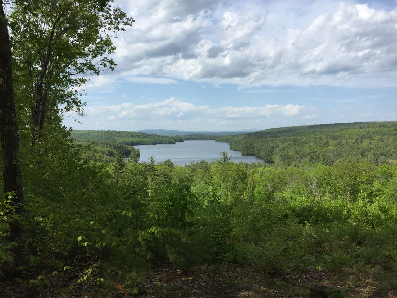
Backtrack to the main trail and cross the summit, where cement footings from the old tower reside. Descend a bit more steeply for another quarter mile, passing a cleared view of Mt. Kearsarge and a few old skidder paths. The yellow trail ends back at the blue trail on the opposite side of the hill. Turn right and climb a bit over the hill's small north ridge to the last viewpoint, which presents a nice vista over Penacook Lake. A bench offers you the opportunity to linger as long as you'd like and enjoy the lake. When you're ready to leave, continue on the blue trail, which crosses the steep side of the hill and runs about half a mile back to the start of the loop.
Printable directions page