blah blah blah
Ladd Mountain
Length: 1.6 miles out-and-backDifficulty (click for info): Easy
Elevation Gain: 370 feet (+20 feet on return)
Rating (click for info): 6/10
Elevation: 1330'
Prominence: 242'
Driving Directions:
Trailhead is on Chemung Road in Meredith, NH. From Rt. 104, 4.8 miles east of exit 23 off I-93 and 3.5 miles southwest of the junction with Rt. 3, turn south onto Meredith Center Road. Drive one mile, and just after passing the fire department, turn right onto Chemung Road. Take this road for 1.5 miles, then turn right to stay on it as straight ahead becomes Camp Waldron Road. Continue a total of 2.1 miles. The road turns to dirt about halfway through. The road approaches Randlett Pond; as you come even with the south end of the pond, look for an unmarked pull-off on the left at the entrance to an old, grassy road. This is the trail entrance. If you drive around a right curve and intersect Higgins Road, you've gone too far. Click here for a Google map.
About the Hike:
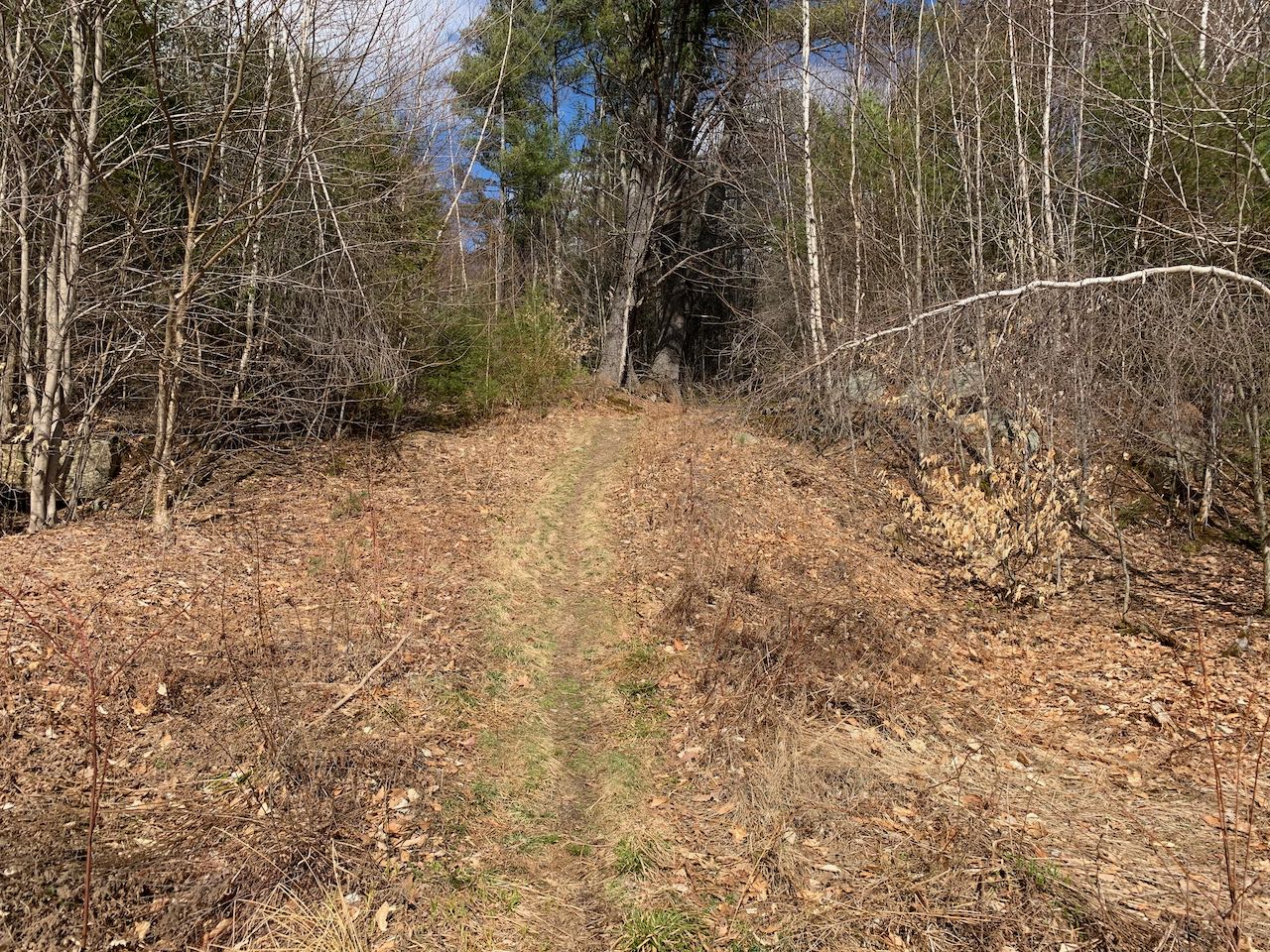
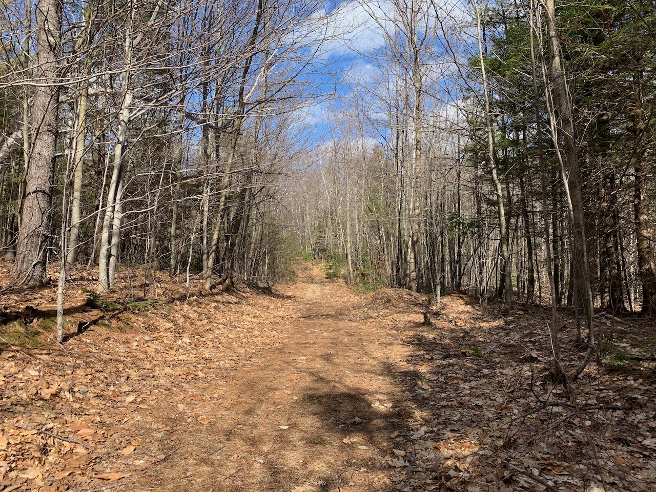
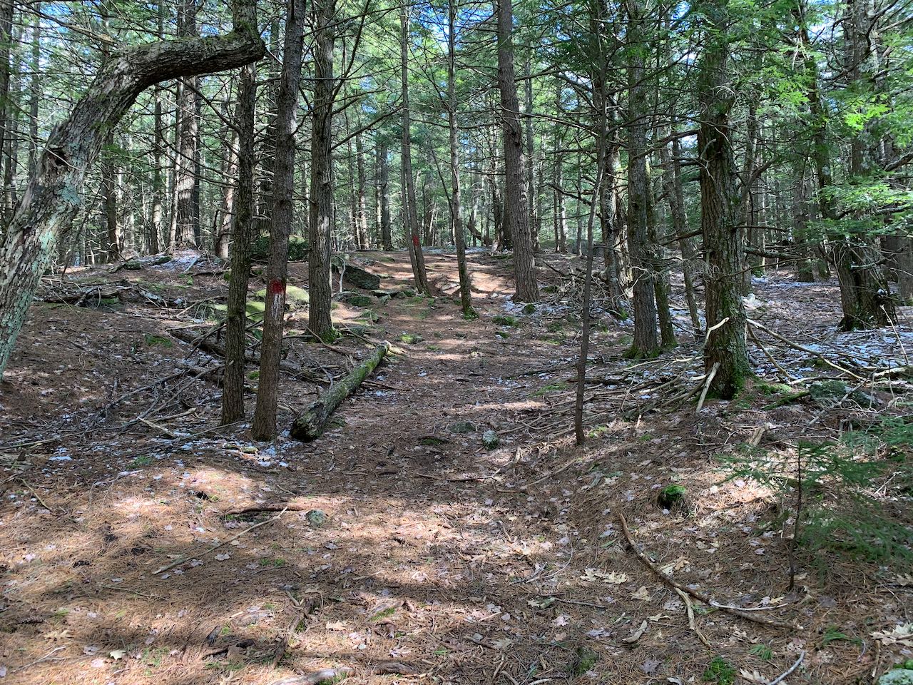
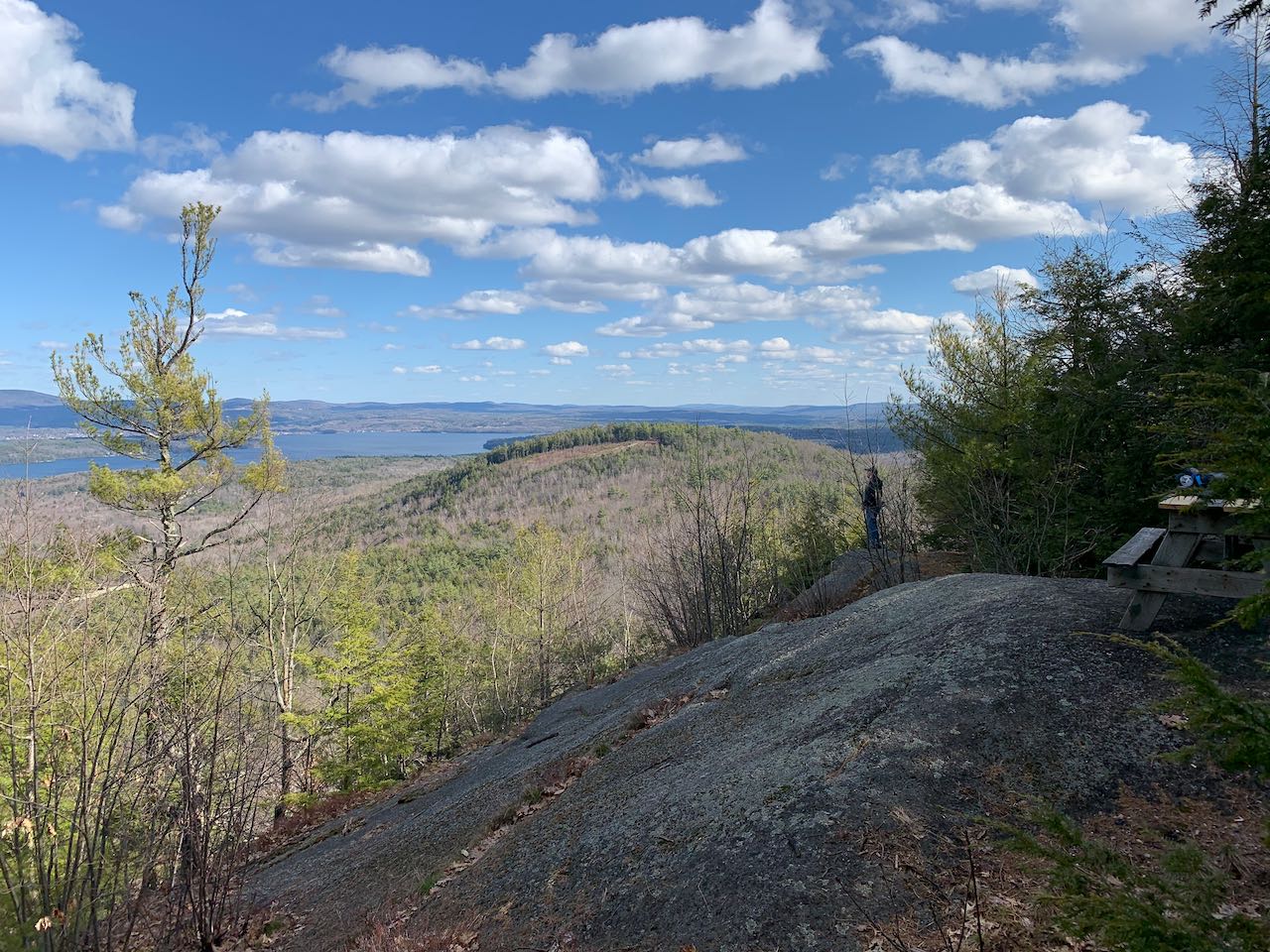
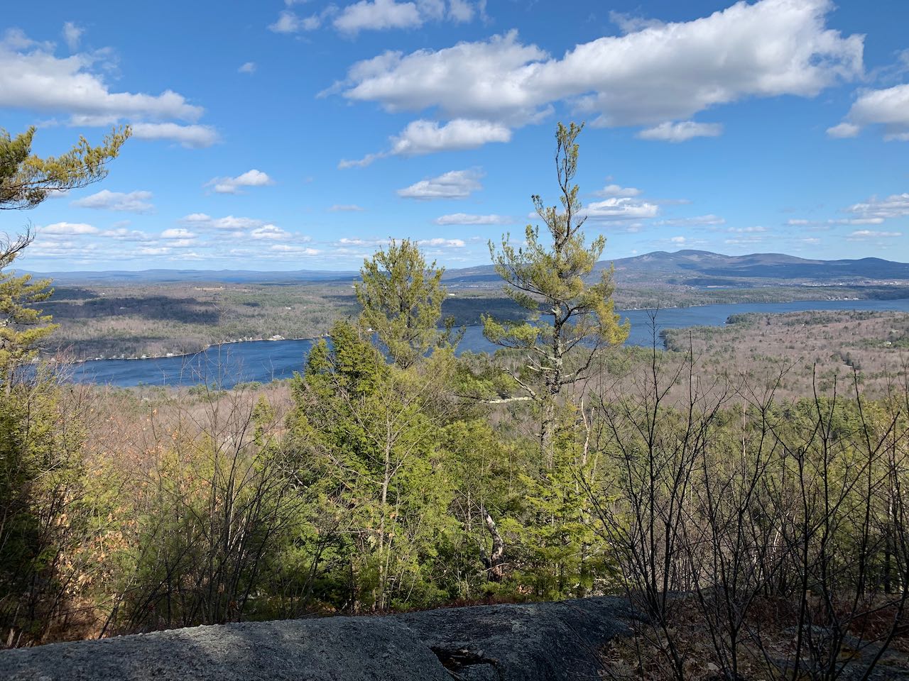
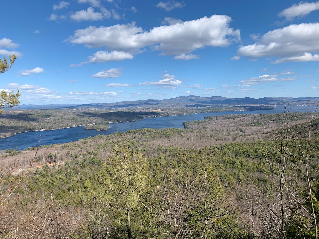
Though just one of multitudes of indistinct hills around the Lakes Region, and with a humble elevation just over 1300', Ladd Mountain is cared for with a viewpoint clearing and picnic table that open up a fine view over Lake Winnisquam. This is something unique, as good views of this lake aren't seen from the area's more prominent summits, which are all closer to Winnipesaukee or Squam. But for a doable hike up an old road, you can enjoy the scenery looking over Winnisquam and bustling Laconia, while taking in the solitude from a hilltop not many frequent. Leaving the dirt road near the shore of Randlett Pond, head up the old woods road, crossing a seasonally muddy clearing, and climb up a steep embankment into the woods. The trail, following the old road, ascends gradually through young tree growth. After an uneventful half mile, arrive at an unmarked T-junction. Turn right, where there has been placed an old fender. The road soon dwindles into a foot trail and steepens quickly. Climb for a quarter mile through darker evergreens to reach the high point. Several beaten paths diverge here, but look down to the left and you should see an opening. Follow the path down around a dropoff and out onto a cleared open ledge with a picnic table. Approach cautiously, as the ledge slopes sharply down on the other side. You're greeted with a nice clear view over Lake Winnisquam toward the Belknap Range, prominent in the center of the view. All of the lake is visible, with the center of Laconia off to the right. Bits of Lake Winnipesaukee can be seen over to the left of the Belknaps. The three highest peaks are, left to right, Gunstock Mountain, Belknap Mountain, and Piper Mountain.
Printable directions page